“SKYTRUTH – SHARING THE VIEW FROM SPACE FOR CONSERVATION”
Tuesday, November 15th, at 7.00 p.m.
By JOHN AMOS, Founder & CEO, SkyTruth
For more than 20 years, SkyTruth has harnessed the power of satellite images to shine a spotlight on environmental issues and incidents around the world. A nonprofit conservation technology organization based in Shepherdstown, WV, SkyTruth was founded by a geologist and now operates as a distributed team of 12 computer programmers, data scientists, image analysts, geospatial analysts, and communications specialists, producing images, data, and analyses that illustrate and measure the impacts of drilling, mining, commercial fishing, and other human activity on terrestrial and marine ecosystems.
They are experts in using cloud computing and AI techniques (machine learning) to automate and scale the analysis of satellite images and other forms of remote sensing data. This approach is exemplified by Global Fishing Watch, a project built by SkyTruth in partnership with Google and marine conservation organization Oceana to reveal all of the commercial fishing activity in the ocean. Currently we are working to automate the detection of oil slicks at sea from vessels and oil production facilities.
OUR SPEAKER
John is an expert in the use of satellite images and other remote sensing data to understand and communicate local, regional and global environmental issues. Educated as a geologist (at the University of Wyoming for his M.S. and Cornell University for his B.S.), John spent 10 years applying image processing, image analysis, and digital mapping techniques to conduct environmental, exploration and resource assessment studies for the energy and mining industries and government entities. In 2001, he founded SkyTruth, a nonprofit 501(c)(3) organization dedicated to strengthening environmental conservation by illuminating environmental problems and issues through the use of satellite images, aerial photographs, and other kinds of remote sensing and digital mapping.
LINK: Register at https://aipg.org/default.aspx. On the lower right hand side of the page is a box “CALENDAR”. This event is the last item in the list. Click on it to register
COST (Includes certificate for 0.1 CEU/1.0 PDH)
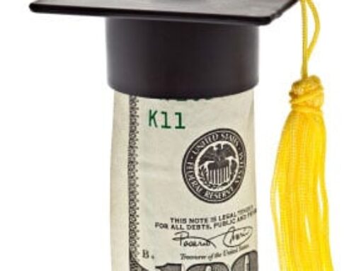
NOTE: All moneys generated by this Webinar series go towards the AIPG-TX Scholarship Fund.
The deadline to apply for Scholarships for summer 2023 and the 2023-2024 Academic Year is Feb. 1st, 2023. See www.aipg-tx.org/scholarships/
John Berry, P.G., C.P.G.
Convenor